The Kariba Gorge Scheme

A VAST DAM with a coastline of about 400 miles and whose waters would make the largest American dam "look like a fish-pond" is envisaged in the Kariba Gorge hydro-electric project on the Zambesi River. This vast scheme, which it is believed will take eight years to come to fruition, will open up enormous industrial and agricultural possibilities in Southern and Northern Rhodesia.
In a country where the biggest rivers run on the boundaries and where there arc no giant mountain ranges, such as in Canada, to act as watersheds for many rivers, it was inevitable that engineers in the Colony should look to the waters of the Zambesi. The Victoria Falls are not suited for continuous large-scale production of power and they were ruled out of the picture. Some years ago a small scheme was roughly designed for bringing water from the Kariba Gorge to mines in the Zambesi area, but the idea hardly reached the blue-print stage. Kariba was, however, on the map, and it was soon found that possibilities of considerable magnitude existed there.
SURVEYS
In 1941, Mr. J. T,. S. Jeffares was commissioned by the Southern Rhodesia Government to examine the Zambesi River and the vicinity of Kariba Gorge and to ascertain the possibilities for the development of power at Kariba Gorge, to select the most suitable site for a dam. and to make surveys to ascertain the approximate storage capacity and surface area of the proposed dam. The following year the river was surveyed from Chirundu to the Gorge and thence to Sampakaruma's Kraal, a distance of 60 miles.
Mr Jeffares' report showed that a rough approximation of the cost of the proposed dam was two million pounds — infinitesimal compared with some of the large American dams. A dam 220 feet above low water level would be about 1,400 feet long at the crest of the wall and would create a lake which, at one point, would be approximately 30 miles wide and
which would have a coastline of about 400 miles. The lake would contain a colossal amount of water, probably exceeding the total volume of the Boulder Dam, the Shasta Dam, Friant Dam and the Grand Coulee.
CHEAP POWER
It would be sufficiently large to provide a source for all the power that both the Rhodesias would be likely to require for some years at a remarkably low cost.
The Inter-Territorial Hydro-Electric Power Commission, appointed by the Central African Council, estimates that two to three years of further detailed investigation of the project are still needed, followed by at least one year's work on final plans ar.d-estimates, before definite proposals can be submitted to Governments and any decision taken regarding construction. The Commission estimates that the period of construction itself would take at least four to five years.
The importance of the scheme has readily been recognised, and the Commission has mapped out an immediate programme of sur-
END OF PAGE 37
vey and hydro graphic work to be carried out on the site and along the river.
When the undertaking is completed, it is not difficult to imagine the vast effect it would have in developing both Northern and Southern Rhodesia. Within easy reach of the power transmission axis of Kariba are numerous mineral resources, such as copper, chrome, manganese, cobalt, vanadium, mica and asbestos, already in production, but which, with cheap power available, offer numerous opportunities for further processing. There are many suitable deposits of iron ore in both territories, and steel manufacture is within the realms of possibility. Towns in Northern and Southern Rhodesia would be able to receive cheap hydro-electric power.
Another factor, too. is the wide vista of agricultural possibilities in the Zambesi Valley. It is reported that the soil and climate offer possibilities for a wide range of sub-tropical crops, and the Zambesi escarpment would offer sites for homes for Europeans. The irrigation possibilities of this area are said to be enormous.
The project would have a direct effect on the whole economy of Southern Rhodesia, but the areas most likely to be affected immediately would be the south-western and western ends of the Colony which are pastoral, with some small amount of mining in Gwanda. The area is short of the water necessary for industrial development and its industries in the future must be based largely on its agricultural products and depend on storm water storage. There appears to be little doubt that the area that will be the largest consumer of electricity from Kariba will be the Midlands, where many raw materials are to be found. The power generated at Kariba could, it is stated, be conveyed at exceedingly high voltage to feed the main lines at Gatooma, which is 145 miles from the Zambesi.
There appears little doubt that the hydro-electric project, exercising the attention of the Central African Council, will, when it is completed, play a big part in the development of the Colony.
END OF PAGE 38
Photographs R. A. Bourlay
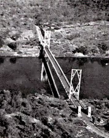
An atrial view of The Otto Beit Bridge across
the Zambesi at Chirundu.
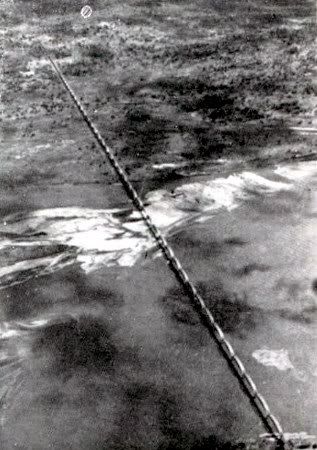
The Bridge across the Zambesi at Mutarara.
This bridge links Portuguese East Africa with
Nyasaland at Dona Ana and Sena, and is the
longest bridge in the world.
See a further photo of this bridge
Extracted by Eddy Norris from The Rhodesian Graphic (First Annual Number) dated November 1, 1947
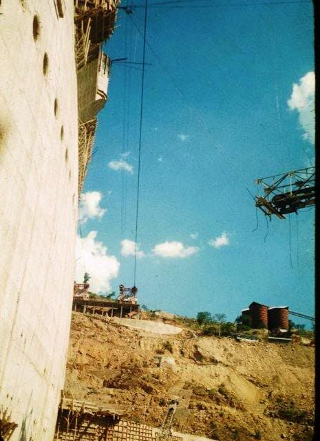
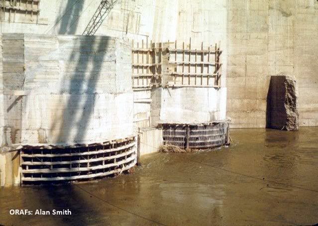
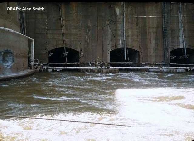
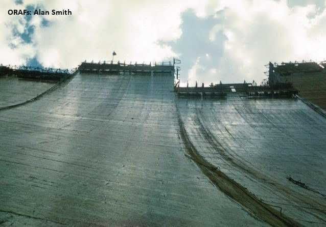
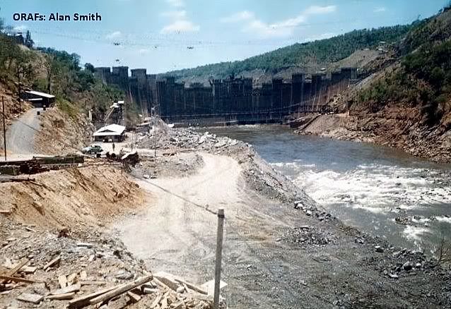
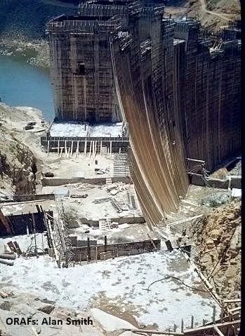
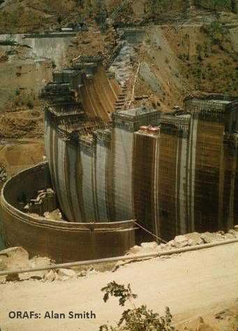
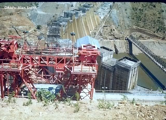
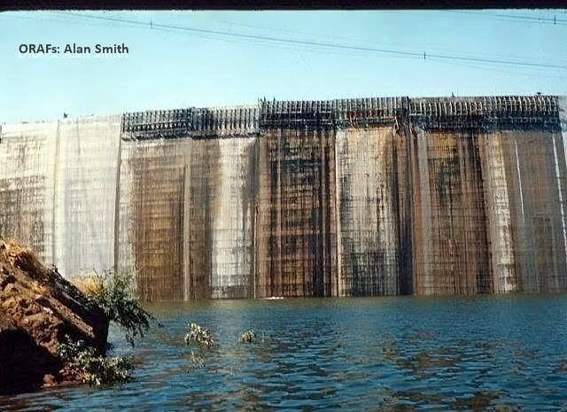
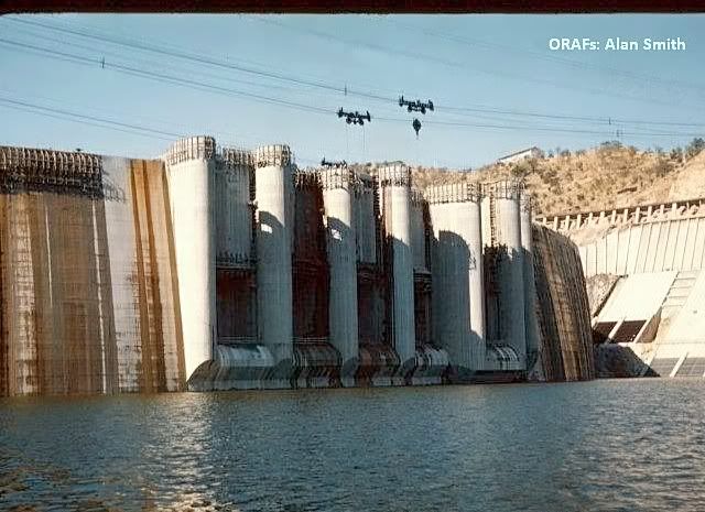
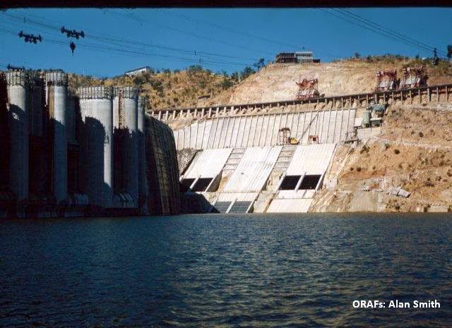
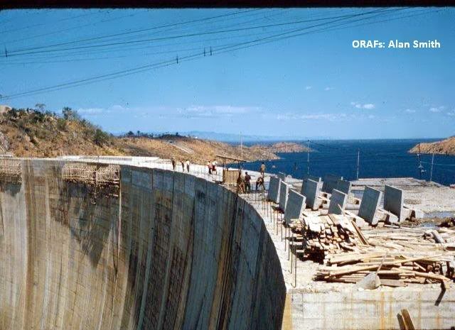
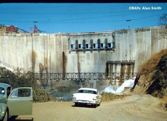
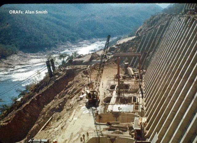
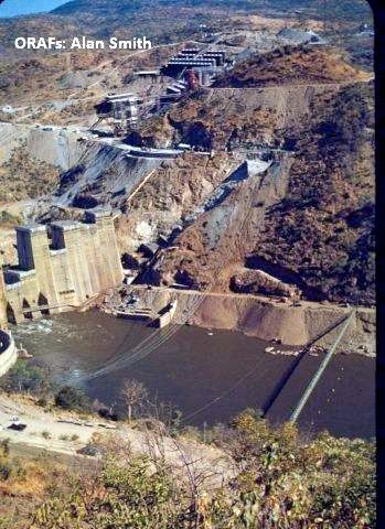
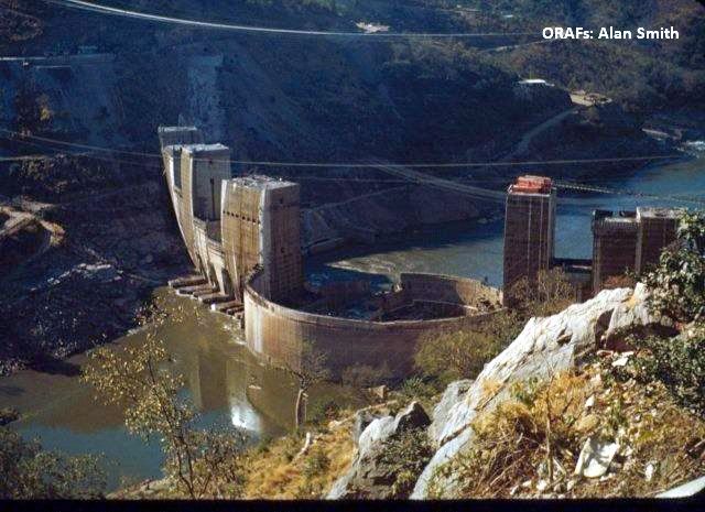
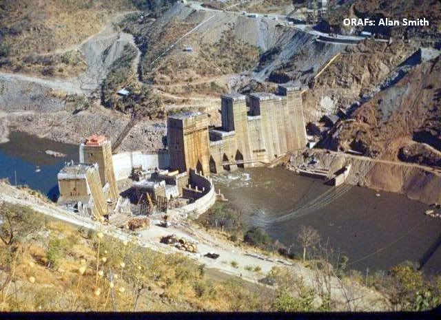
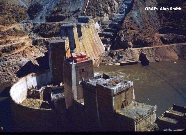
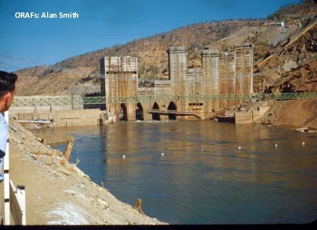
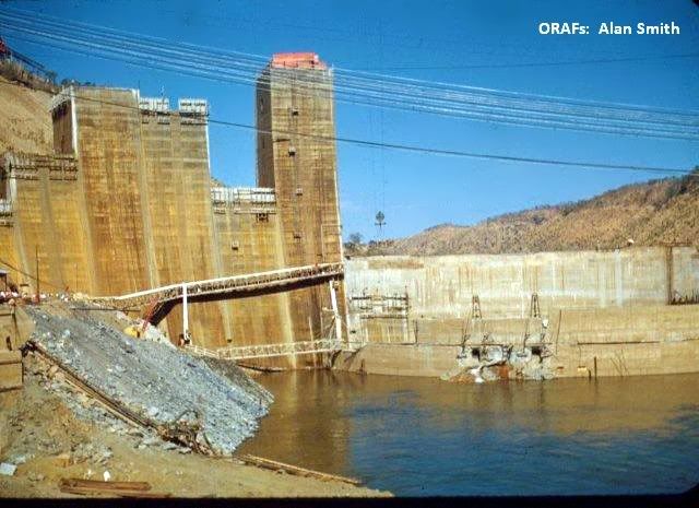
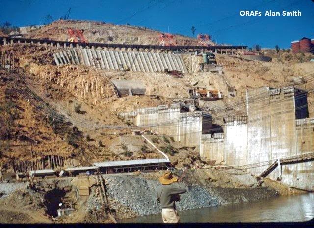
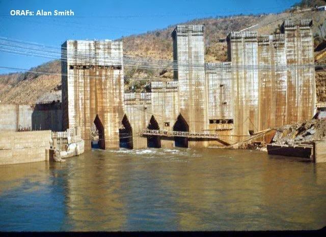
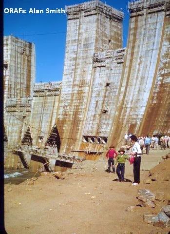
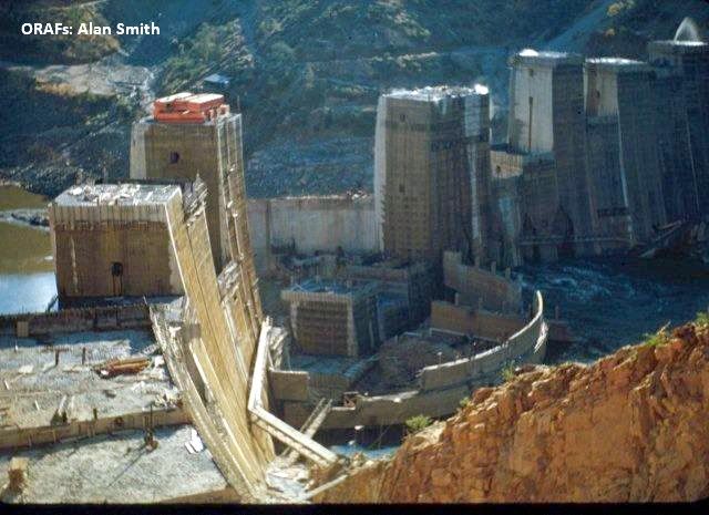
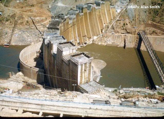
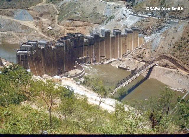
Construction of the dam wall commenced in 1955 and was complete in 1959. This type of dam is known as a 'Arch Dam'. Height128m (420 feet) and length being 579m (1,900 feet) and the construction company was Impresit of Italy.
The creation of the reservoir forced resettlement of about 57,000 Tonga people living along the Zambezi in both Northern Rhodesia (Zambia) and Rhodesia (Zimbabwe.)
Several thousand large animals threatened by the rising water were rescued by Operation Noah.
From 1960 to 1961, 'Operation Noah' captured and removed around 6,000 large animals and numerous small ones threatened by the lake's rising waters.
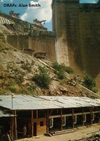
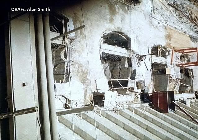
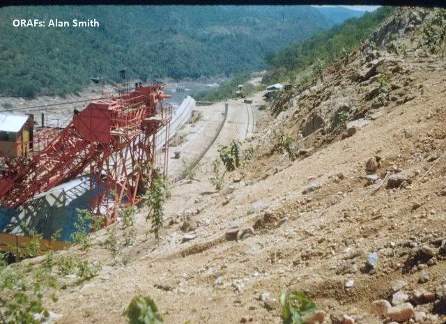
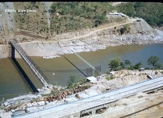
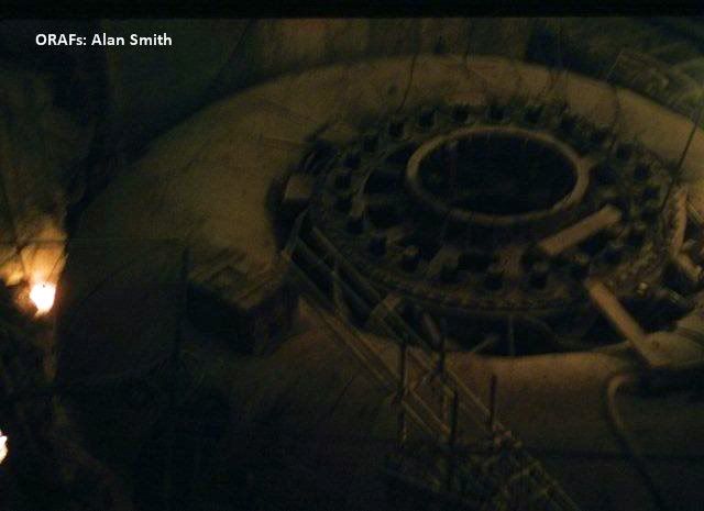
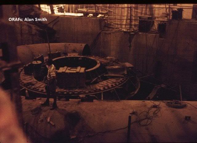
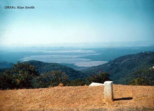
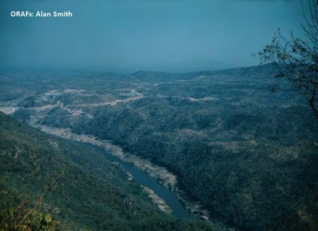
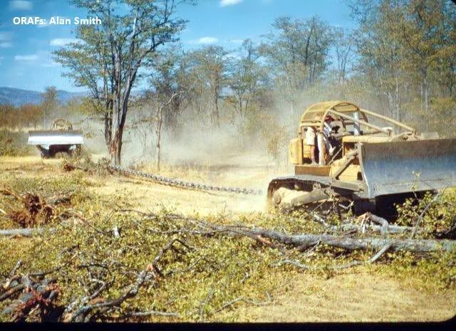
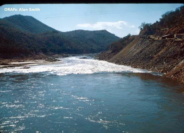
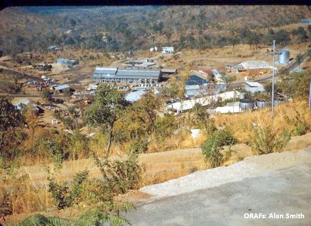
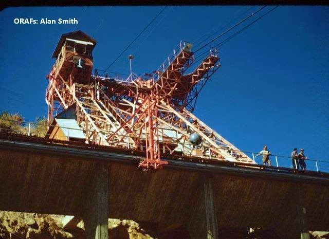
Alan Smith has kindly made available a number of photos that he purchased from the Kariba site office and they follow below.
Unfortunately there are no captions to the photographs but I am sure viewers will appreciate that this was a great undertaking in the middle of darkest Africa in the 1950's.
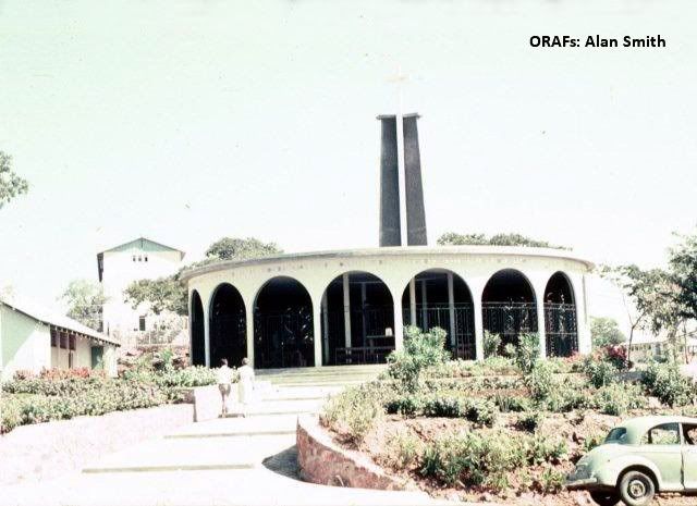
Chapel built by the Italians
The Rhodesian Air Force transported the Queen Mum during her visit to Rhodesia wherer she opened the Dam. Please visit the link below.
http://www.ourstory.com/thread.html?t=251474#235568
End of Article.
Many thanks to Dave Bowman for making the details taken from the 1947 Graphic magazine and to Alan Smith for sharing his photos with us all.
Compiled by, Eddy Norris for use on ORAFs.
No financial gain is intended from producing these memories
Thanks also to:-
My son, Paul Norris, for the ISP sponsorship.
Paul Mroz for the image hosting sponsorship.
Robb Ellis for his assistance.
Should you wish to contact Eddy Norris please mail me on orafs11@gmail.com

