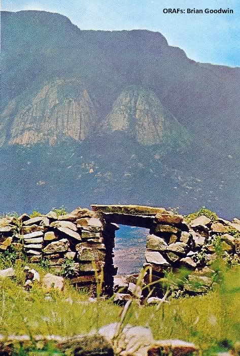
Above - The Van Niekerk and Nyahokwe Ruins cover many hundreds
of square miles of upland country.
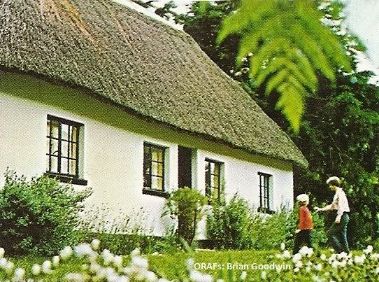
Below - A National Parks cottage, one of many set in scenic locations.
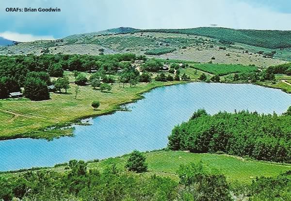
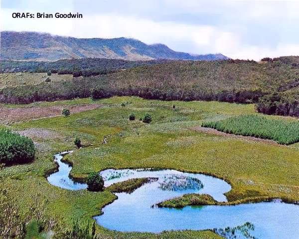
Below - The Mare Dam, which offers excellent trout fishing. Amongst the trees are situated National Parks cottages and lodges.
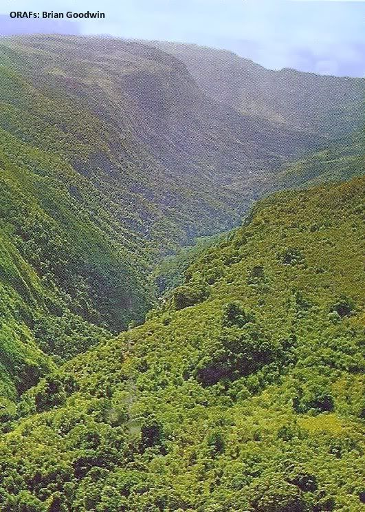
Below - The deep, wooded Pungwe Gorge, and the 900-foot-high Pungwe Falls atits head, lie 16 miles from the Warden's office and just off the road leading to the Mtarazi Falls.
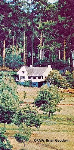
The administrative heart of the Rhodes Inyanga and Mtarazi Falls national parks is the Warden's office, above, lying at the centre of the complex of roads which lead to the places of tourist interest. Fishing licences and general information can be obtained here, and enquiries for national parks cottages, caravan parks and camping sites dealt with by a resident tourist officer. Set on the boundary of the park's nine-hole golf course, which has an interesting number of holes crossing two rivers, the office is opposite the Rhodes Hotel.
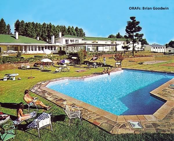
The largest hotel in the Inyanga area is the luxury Montclair (above), situated at Juliasdale, on the Rusape-lnyanga highway, five miles from the Warden's office. It offers a full range of amenities, including full conference facilities.
Fifteen miles from the Warden's office, high in the mountains, is Troutbeck Inn (below), which offers private fishing in its own lake among its amenities. This hotel also provides conference facilities.
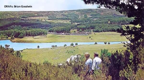
Fifteen miles from the Warden's office, high in the mountains, is Troutbeck Inn (below), which offers private fishing in its own lake among its amenities. This hotel also provides conference facilities.

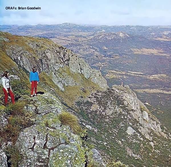
Below - 15 minutes' drive up a steep road from Troutbeck Inn, on the steep western edge of the Inyanga Mountains, is a vantage point that is aptly named World's View.

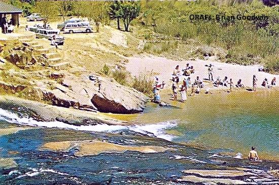
Below - A natural swimming pool on the Inyangombe River. The rivers in the Inyanga area are bilharzia free.
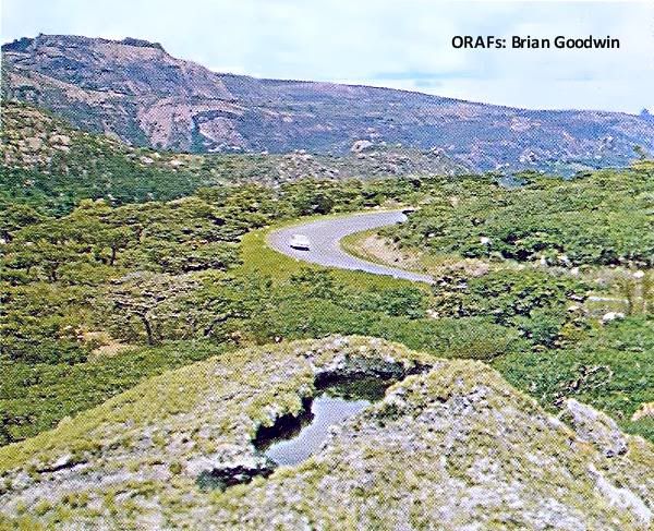
Two scenic highways connect Inyanga with the remainder of Rhodesia: one leading off the Salisbury to Umtali highway at Rusape, and the other direct from Umtali. Distances to Inyanga from other centres in Rhodesia are: Umtali, 75 miles; Salisbury, 169; Fort Victoria, 270; Bulawayo, 386; Beitbridge, 449.
THE Inyanga Mountains form the northern end of the rugged mountain range that buttresses Rhodesia's eastern border with Mocambique. Reached by scenic national highways, the area is a continuing favourite with Rhodesian holidaymakers, and frequently a delightful surprise to visitors unprepared for the country's scenic variety.
Here the eye moves naturally to the horizon-wide vistas of mountain, green forest and plain, and the clear air encourages even the armchair habitue to stroll along winding footpaths and through fragrant pine forests.
The mountains here give birth to a thousand streamlets, which combine to form rushing rivers, cascading spectacularly into deep valleys. In these clear rivers the wily trout lie, a worthy challenge to the skill of the fly-fisherman.
Man lived here long, long ago, and over hundreds of square miles of Inyanga are the ruins marking an occupation that commenced 2,000 years ago. The people who built them have disappeared in an unwritten past, but their terraces and forts, which dominate many a strategic hill, hold a fascination for the visitor.
The name "Inyanga" is said to come from "nyanga", meaning horns, because a renowned African herbalist who once lived here was distinguished by a necklace of small horns which he always wore.
In more recent times, Cecil Rhodes visited this fresh upland area, and enthralled by its beauty, purchased a large estate, which was bequeathed to the nation on his death. Part of this estate became the 63,000-acre Rhodes Inyanga National Park.
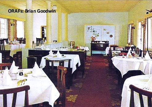
Over the years, hotels and holiday cottages have been established, all bearing an individual character, and all situated in unique scenic surroundings. They represent a range of accommodation to suit every taste and budget, and provide facilities for the full enjoyment of the romance of the past with the holiday pleasures of the present.
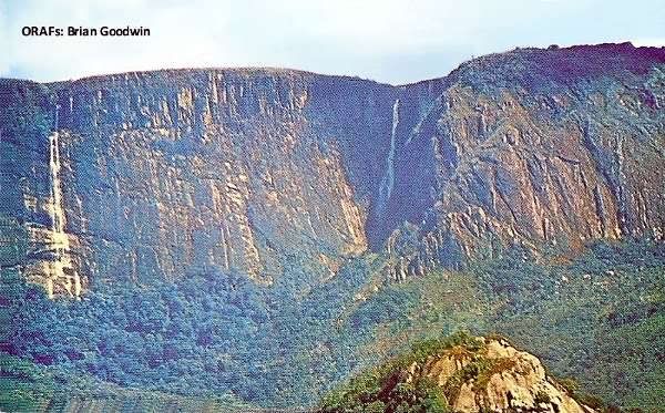
Above - Seen from The Hondi Valley, the Mutaruru Falls and the Mtarazi Falls (the second highest in Africa) plunge their way over the vertical edge of the Inyanga Escarpment. The panorama from the top of the Falls over the valley is equally spectacular, and the viewpoints lie only 18 miles from the Warden's office.
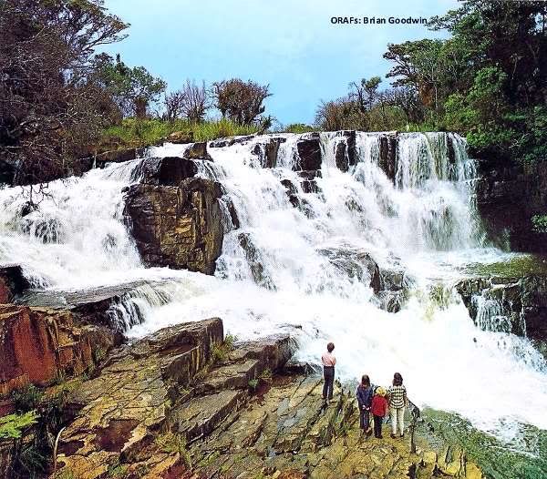
Below - The Inyangombe Falls are only 4½ miles from the Warden's office, and are the most easily accessible of the many waterfalls in the area.
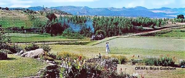
Below- All the hotels in the area have scenic outlooks, such as this from the Brondesbury Park Hotel, over its bowling greens and golf course to the mountains beyond. There are three golf courses in the Inyanga area.
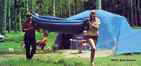
Below - There are three camping and caravan sites at Inyanga, operated by National Parks. There is also a range of National Park and private cottages and lodges at scenic locations in the area. Full details are available in the current Hotel Guide, available from Rhodesia National Tourist Board and publicity association offices in the main centres.
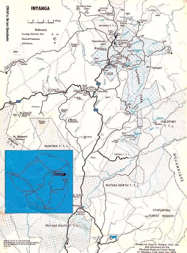
Below - Map detailing whereabouts of Inyanga
End

Above - Seen from The Hondi Valley, the Mutaruru Falls and the Mtarazi Falls (the second highest in Africa) plunge their way over the vertical edge of the Inyanga Escarpment. The panorama from the top of the Falls over the valley is equally spectacular, and the viewpoints lie only 18 miles from the Warden's office.
Below - The Inyangombe Falls are only 4½ miles from the Warden's office, and are the most easily accessible of the many waterfalls in the area.

Below- All the hotels in the area have scenic outlooks, such as this from the Brondesbury Park Hotel, over its bowling greens and golf course to the mountains beyond. There are three golf courses in the Inyanga area.

Below - The Angler's Rest Hotel is situated in the Inyanga Village, overshadowed by nearby mountains and within convenient distance of the areas of tourist interest.

Below - There are three camping and caravan sites at Inyanga, operated by National Parks. There is also a range of National Park and private cottages and lodges at scenic locations in the area. Full details are available in the current Hotel Guide, available from Rhodesia National Tourist Board and publicity association offices in the main centres.

Below - Map detailing whereabouts of Inyanga

End
Recompiled, by Eddy Norris, from scanned pages/images made available by Mr. Brian Goodwin (Rhodesian Air Force). Thanks Brian
The recompilation was done for no or intended financial gain but rather to record the memories of Rhodesia.
Thanks to
Paul Norris for the ISP sponsorship.
Paul Mroz for the image hosting sponsorship.
Robb Ellis for his assistance.
Should you wish to contact Eddy Norris please mail me on orafs11@gmail.com
Tim Musto Writes:-
ReplyDeleteIncidentally, I stayed at the Rhodes Hotel (Nyanga) not too long ago (few years) under the new (very Indigenous) Rainbow Hotel group and everything was in immaculate condition with ever friendly staff - all operating as it did moons ago. Wonderful to see despite the hard economic times. Used to drive up there from Salisbury for Christmas lunch, then back the same day.
Rhett Gardener Writes:-
ReplyDeleteWow that brought back some wonderful memories! Maybe I WILL return and walk those ranges again before I die [and after Mugabe has died first!]
Nick Baalbergen Writes:-
ReplyDeleteAh...........good memories!!
Thanks for the wonderful photos of Inyanga. I have been to most of the places many times with loved ones who are now gone – makes the memories more precious!
ReplyDeleteLorraine Cripps